
Habagat to weaken as rains persist over Luzon — PAGASA
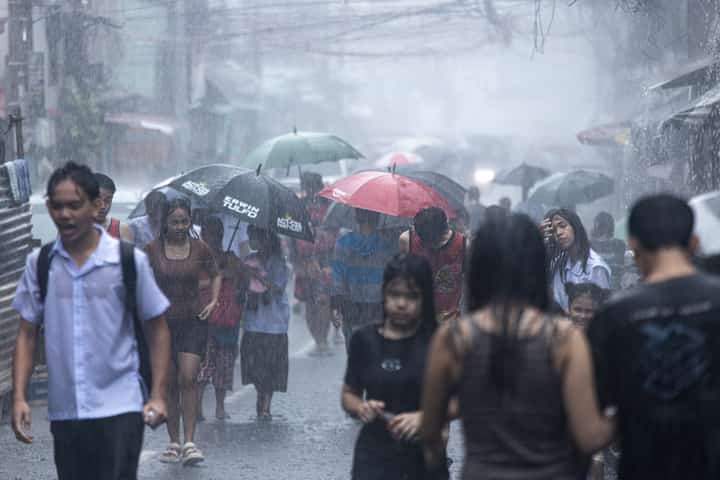
The southwest monsoon, or habagat, continues to bring widespread rain over Northern and Central Luzon on Sunday, although state weather forecasters expect the weather system to weaken in the coming days.
The Philippine Atmospheric, Geophysical and Astronomical Services Administration (PAGASA) said Ilocos Norte and Ilocos Sur will experience occasional rains with projected rainfall of 50 to 100 millimeters, which could trigger flash floods and rain-induced landslides.
Cloudy skies with scattered rains and thunderstorms are also expected over Metro Manila, the Cordillera Administrative Region, Pampanga, Bataan, Tarlac, Bulacan, Rizal, Cavite, Batangas and the rest of the Ilocos Region.
PAGASA weather specialist Obet Badrina said the southwest monsoon is expected to temporarily weaken, providing a brief respite from the rains during the opening week of School Year 2026–2027.
The weather bureau also said no low-pressure area or tropical cyclone is expected to develop or enter the Philippine Area of Responsibility over the next few days.
Meanwhile, the rest of the country will experience partly cloudy to cloudy skies with isolated rain showers or thunderstorms due to localized convective activity.
PAGASA reminded the public that severe thunderstorms may still bring flash floods and landslides in vulnerable areas despite the expected weakening of the monsoon.