
PAGASA: Uwan may reenter PAR
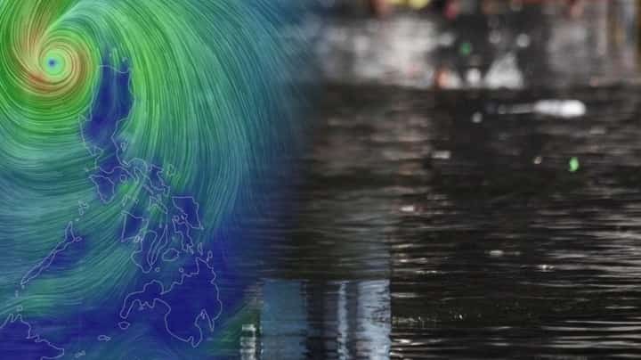
The Philippine Atmospheric, Geophysical and Astronomical Services Administration (Pagasa) said on Monday, 10 November, that Typhoon Uwan (international name: Fung-Wong) may reenter the Philippine Area of Responsibility (PAR).
Pagasa Chief Nathaniel Servando explained that the reason Uwan may reenter PAR is that it will weaken as it makes landfall over the southwestern coast of Taiwan. “Then Uwan will quickly exit PAR for good,” Servando added.
On Sunday, 9 November, DOST-Pagasa Weather Specialist Obet Badrina said that Uwan may leave PAR by Friday once it reenters.
As of 5 p.m. on Monday, 10 November, Typhoon Uwan was about 175 kilometers west of Sinait, Ilocos Sur, with maximum sustained winds of 120 km/h near its center. Pagasa said the typhoon is moving northeast to east, following a “recurving” track.
The typhoon is expected to weaken further by Thursday and eventually dissipate.