
The curious case of south’s private roads
The urban landscape stitched itself together through roads built at different times, by different hands, for different reasons.


MODERN commuting in the south rarely depends on a single road. Instead, motorists travel across an interconnected system of public highways, privately developed roads and toll expressways that together keep the region moving.
DAILY TRIBUNE images
Somewhere between the south and Metro Manila, your commute quietly changes ownership.
You leave a national highway, tap your RFID at a toll plaza, pass landscaped boulevards lined with subdivisions and townships, merge onto the South Luzon Expressway, (SLEX) and continue toward Metro Manila. The drive feels perfectly ordinary. Yet if someone asked who owned the road beneath your tires at any given moment, most of us probably could not answer.
That is a rather curious thought.
In the south, a single commute often passes through infrastructure built and operated by different entities. A motorist traveling along Daang Hari, for example, may drive on roads developed by private companies, enter the 4-kilometer Muntinlupa-Cavite Expressway (MCX), connect to SLEX, and arrive in Metro Manila without ever feeling that the journey has changed. The road appears continuous even though its ownership does not.
Roads such as Daang Hari and Daang Reyna did not begin as metropolitan corridors. Developers built them to open new residential communities, improve accessibility, and increase the value of surrounding land. At the time, these areas occupied what many considered the edge of Metro Manila. Few would have imagined that roads serving new subdivisions would one day carry commuters from multiple provinces every single morning.
Yet cities have a habit of outgrowing their original plans. According to the Philippine Statistics Authority, Cavite’s population grew from 2.06 million in 2000 to 4.34 million in 2020. Laguna expanded from 1.97 million to 3.38 million during the same period. Entire townships, industrial parks, universities, hospitals, commercial centers and business districts followed. As more families chose to live farther south, the roads that once served individual developments gradually became routes for everyone else.
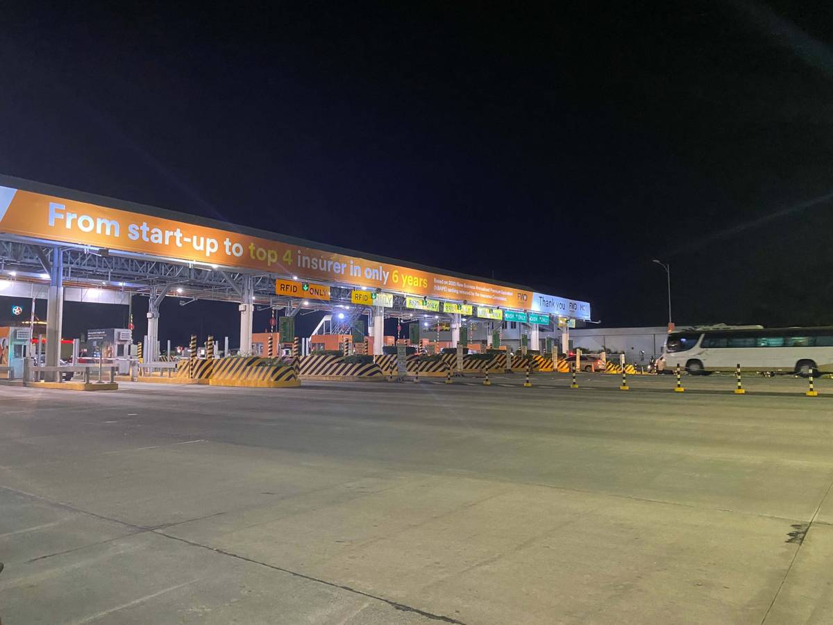
MUNTINLUPA-CAVITE Expressway provides a direct connection between Daang Hari and SLEX, demonstrating how private investment can complement the region’s growing transport network.
Today, many motorists use Daang Hari without entering a subdivision at all. They use it because it has become one of the South’s most practical east-west corridors. Others continue onto MCX, a privately operated expressway completed in 2015 under the Public-Private Partnership Program, which connects Daang Hari directly to SLEX in about four kilometers. For many commuters, paying a modest toll has become an ordinary trade-off for a faster and more predictable journey.
What interests me is not whether that toll is justified as there are reasonable arguments both for and against it. What interests me is at what point does a road stop belonging, at least in people’s minds, to the development that built it? Ownership, of course, has a legal answer. Function is less straightforward.
A road originally intended to serve one community can gradually become the preferred route for delivery trucks, buses, ride-hailing vehicles, office workers and weekend travelers heading to Tagaytay. It still appears on a developer’s plans, yet it also becomes part of the daily rhythm of an entire region. Without any formal announcement, infrastructure built for private development begins performing a very public role.
This pattern extends beyond Daang Hari. Across the south, large-scale developments increasingly arrive with their own roads, interchanges, bridges, utilities and transport connections. As these projects mature, the infrastructure often serves surrounding cities as well. What begins as an investment in one development gradually supports the movement of an entire metropolitan area.
Perhaps that is one of the more fascinating stories behind Metro Manila’s southward expansion. The urban landscape stitched itself together through roads built at different times, by different hands, for different reasons.
The next time you tap your RFID somewhere between Daang Hari and SLEX, it may be worth noticing what has quietly happened around you. You are moving through a transport network that feels seamless despite passing between public highways, privately developed roads, and privately operated expressways.