
Mapping the Metro urban forest's 'Hidden Heart'
Everyday citizens play a pivotal role in keeping these spaces alive through simple, mindful actions—such as disposing of waste properly, conscious recycling, and aggressively resisting illegal dumping in remaining vacant lots.


THE DENR National Capital Region’s Coastal Resources and Foreshore Management Section joins a simultaneous mangrove planting activity in Valenzuela City as part of continuing rehabilitation efforts for Metro Manila’s coastal ecosystems.
At first glance, Metro Manila presents itself as an unyielding expanse of gray.
It is a bustling, energetic, and densely populated capital region dominated by closely-knit housing, towering high-rises, sprawling highways, and gargantuan mega-malls. It is the quintessential concrete jungle - a place where nature often feels like a relic of the past, rare and highly priced.
Yet, beneath the haze and between the skyscrapers, a quiet, green revolution is being mapped. Detailed environmental auditing by the Department of Environment and Natural Resources (DENR-NCR) is instilling a fresh sense of hope for the metropolis.
Data released by the DENR-NCR reveals that the region is holding onto vital breathing room, documenting pockets of green that total an impressive 11,233.37 hectares across 15 cities and one municipality.
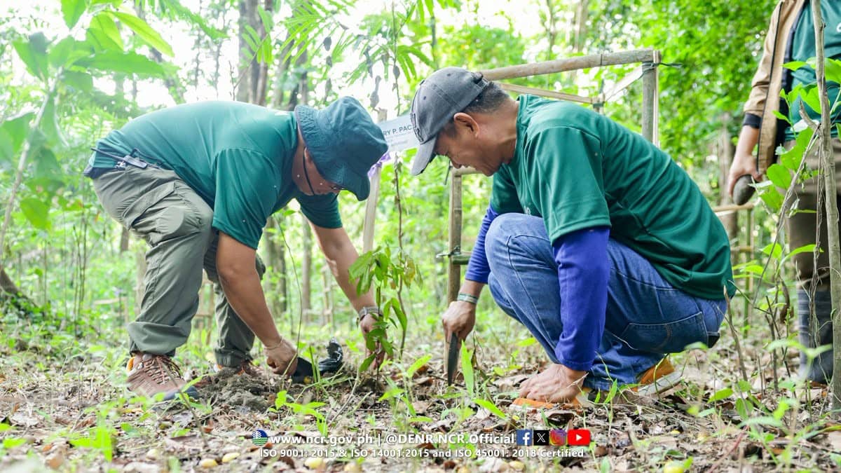
THE Forest Management Bureau and DENR National Capital Region mark a decade of environmental stewardship with the staging of the 10th Bike Hike Plant advocacy event in Quezon City.
The agency cited that Metro Manila is more than just a highly urbanized region; it is an urban forest striving to become greener, more sustainable, and more resilient for future generations, ultimately reshaping how we view the country's capital.
This massive mapping initiative is not just an exercise in tree-counting. It is a critical component of the Philippine Biodiversity Strategic Action Plan - specifically Target No. 12 - which aggressively aims to increase the extent and accessibility of urban green and blue spaces for the public by 2040.
To map this urban environmental backbone, the DENR-NCR expanded its validation efforts across multiple local government units.
Teams scrutinized everything from sprawling public parks and coastal vegetation to tree-lined roads, school gardens, landscaped corporate compounds, center islands, and even humble roadside plant boxes.
The baseline mapping, which took off heavily in 2025, initially covered six cities and one municipality, capturing a significant green footprint.
This included Muntinlupa City with 1,680.70 hectares, Parañaque with 789.83 hectares, Taguig with 670.38 hectares, Marikina City with 428.57 hectares, Las Piñas with 408.73 hectares, and Pateros, the sole municipality, with 62.61 hectares.
In the first half of 2026, the green ledger grew even larger as the mapping expanded to include the massive footprint of Quezon City, which boasts a staggering 5,616.68 hectares of validated green space, followed by Pasay City with 250.24 hectares, and San Juan with 88.33 hectares.
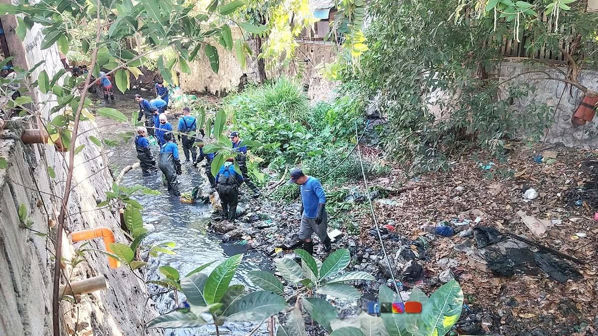
PERSONNEL from the Metropolitan Environmental Office-South spearhead a cleanup drive along Libis Creek in Barangay North Signal Village, Taguig City as part of ongoing efforts to rehabilitate and maintain the city’s waterways.
In a megacity facing persistent, daily challenges like severe flooding, intense urban heat stress, and relentless air pollution, these green spaces serve a purpose far greater than mere aesthetics.
They are functioning pieces of natural infrastructure. Every leaf and root system acts as a shield.
These validated areas regulate local temperatures, lowering the urban heat island effect caused by concrete absorbing solar radiation. They act as natural sponges, absorbing heavy rainfall to mitigate flash floods, while simultaneously filtering the air and providing critica., localized habitats for the region's remaining urban wildlife.
Local government units are already utilizing this growing dataset as a vital reference point for future urban design.
By identifying exactly where the green patches thrive and where the barren coverage gaps remain, city planners can target future tree-planting and pocket-garden initiatives with surgical precision.
The DENR's findings serve as a powerful reminder that despite the march of urbanization, nature is not entirely absent from the city; it is deeply embedded within it, fighting to survive.
But maintaining this urban canopy cannot be the government's job alone.
Everyday citizens play a pivotal role in keeping these spaces alive through simple, mindful actions - such as disposing of waste properly, conscious recycling, and aggressively resisting illegal dumping in remaining vacant lots.
True sustainability relies on a unified front, achieved through the collective action of the government, private sector and community.
The final goal remains clear: To achieve a greener, more spacious, and more sustainable Metro Manila for the next generation. Through this shared responsibility, the gray of the metropolis is slowly but surely giving way to a more resilient shade of green.