
‘Yorme’ praises DPWH flood control efforts along España
‘We are looking into whether we can build a water encasement facility in that area using science so we can flush away floodwaters submerging the roads of España.’
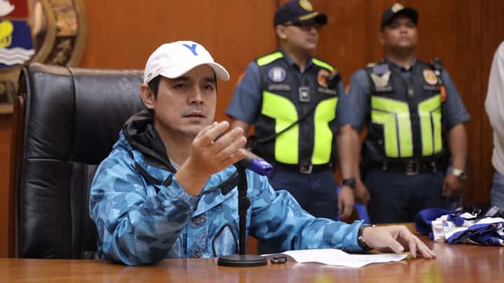
Manila Mayor Francisco “Isko Moreno” Domagoso praised Public Works Secretary Vince Dizon for recent drainage maintenance that significantly reduced floodwaters along España Boulevard following heavy rainfall.
During a joint inspection of España Boulevard’s main drainage system — a low-lying area long prone to waist-deep flooding — Domagoso cited that collaborative declogging efforts by the Department of Public Works and Highways, the local government and the Metropolitan Manila Development Authority helped clear sand, litter, and other blockages from major waterways.
Dizon said DPWH teams were deployed to monitor runoff flowing into Manila from the higher-elevation Welcome Rotonda area in Quezon City.
In past heavy rains, floodwaters routinely inundated streets including A. Maceda, V. Cruz, Dela Fuente, A.H. Lacson, P. Campa, Morayta and C.M. Recto.
Following the recent storms, local residents observed that floodwaters reached only gutter level and fully receded in just over two hours, keeping roads passable for motorists.
To further mitigate flooding in the area, Domagoso announced plans to construct a water encasement facility near Earnshaw Street to divert stagnant runoff away from España Boulevard.
“We are looking into whether we can build a water encasement facility in that area using science so we can flush away floodwaters submerging the roads of España,” Domagoso said.
“Drivers, students, and commuters are affected because it is a main road, so we will ask for help from the DPWH so these areas in Sampaloc will no longer be impassable whenever it floods,” he said, adding that the city will seek DPWH assistance to protect motorists, students, and commuters in the Sampaloc university belt.
Meantime, Dizon expressed full support for the project, acknowledging the age of Manila’s drainage infrastructure.
“We know Manila is the oldest city, and its canals and drainage outlets have difficulty flowing. We will support the mayor’s good plan so that, once and for all, there will be a lasting solution to flooding here on España Boulevard,” Dizon said.
Alongside structural upgrades, Manila is deploying an artificial intelligence-powered drone equipped with 3D spatial mapping technology to map every building in the capital and predict flooding up to two hours in advance.
“We can predict if an area will flood based on rainfall volume, land elevation and our drainage mapping,” Domagoso said. “In a matter of a few minutes, the system can detect if a specific location will flood two hours later.”
Operated by the Manila City Disaster Risk Reduction and Management Department, the ArcGIS system tracks municipal infrastructure ranging from utility pole conditions to zoning compliance across all six city districts.
The initiative earned Manila a Special Achievement in GIS Award from Esri in San Diego last week.
Domagoso said the city is also investing in big data systems to track real property records, business data, and granular healthcare metrics down to the barangay level.
“If a specific barangay shows a high concentration of tuberculosis or respiratory illnesses among seniors, our health care data mapping allows us to design targeted interventions,” Domagoso said, emphasizing that early flood warnings and data-driven decisions will ultimately save lives and property.